CloudRaven Labs · TrendSights

Public data. A real community question.

Make public data useful for your community.

Our latest TrendSights study connects King County crash records with residents, workplaces, roads, and daylight. Follow the evidence, inspect the methods, and build on the questions it raises.

For agency program teams, analysts, IT leaders, and data stewards.

Latest research · King County, Washington
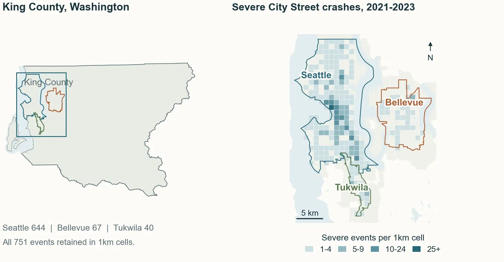
King County locator and 1 km grid of 751 severe City Street crash events in Seattle, Bellevue, and Tukwila, 2021–2023; counts are 644, 67, and 40.
Reported crashes: 2020–2024. Map: severe City Street events, 2021–2023, aggregated to 1 km cells. Counts show locations, not travel-adjusted risk.

Preparing for the TOP AI Sprint Showcase · October 23, 2026

Watch the demo and read the showcase update

Inside the latest research

A crash trend becomes a better set of questions.

King County's severe-crash count rose by 161 from 2021 to 2023. City Street records account for 138 of that increase. What changes when we look at the junctions, workplaces, road types, and daylight?

Follow a local study built with the TrendSights research approach, Codex, and human review. The maps, publications, aggregate data, and checks are all available to inspect.

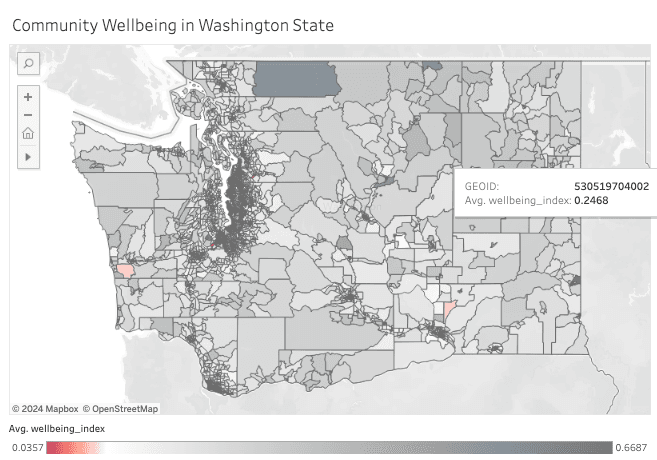
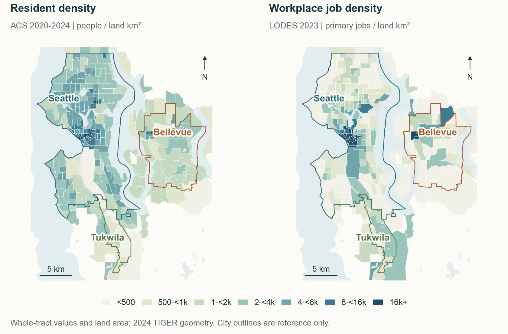
Paired maps of ACS 2020–2024 resident density and LODES 2023 workplace primary-job density on verified 2024 tract geometry; these measures describe separate populations.
Same places, different populations. ACS describes residents; LODES describes primary jobs. Neither supplies a complete measure of travel exposure.
City Street share of the county increase
85.7% · 138 of 161
Seattle intersection-related change
81 → 138 events
Research publications to browse
4 · 21 pages, plus data

WSDOT, 2021–2023. Severe = fatal or suspected serious maximum injury per reported crash. Counts describe events, not injured people or travel-adjusted risk.

From readiness to a working pilot

Start with one question your agency needs to answer.

Housing context, service planning, grant evidence, or public records discovery: begin with the job your team needs to do. The workshop connects federal-data research, responsible AI use, and a reusable technical baseline to a scoped agency pilot.

Explore the planned open-source baseline
  1. 01

    Choose a community question

    Start with a project, program, or service your agency wants to improve. Define the people, geography, and decision it serves.

  2. 02

    Work from federal evidence

    Explore Census data with TrendSights. Keep sources, time periods, uncertainty, and researcher review attached to the result.

  3. 03

    Define a practical pilot

    Leave with a use-case brief, data requirements, review checkpoints, and a scoped path toward an agency application.

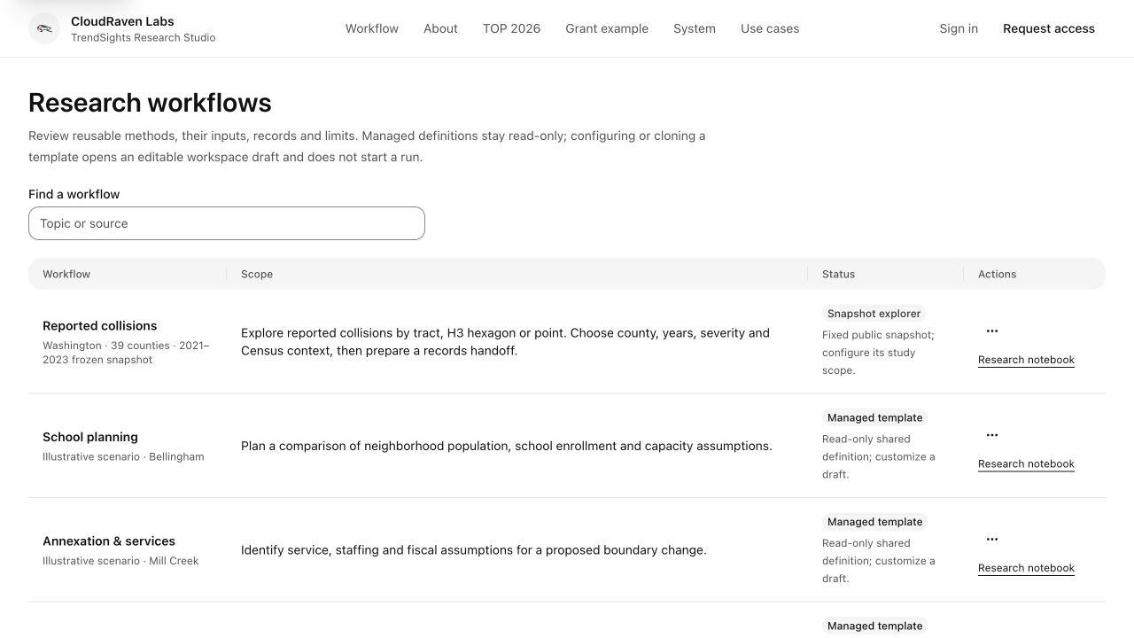
CloudRaven portfolio

Active projects & applications.

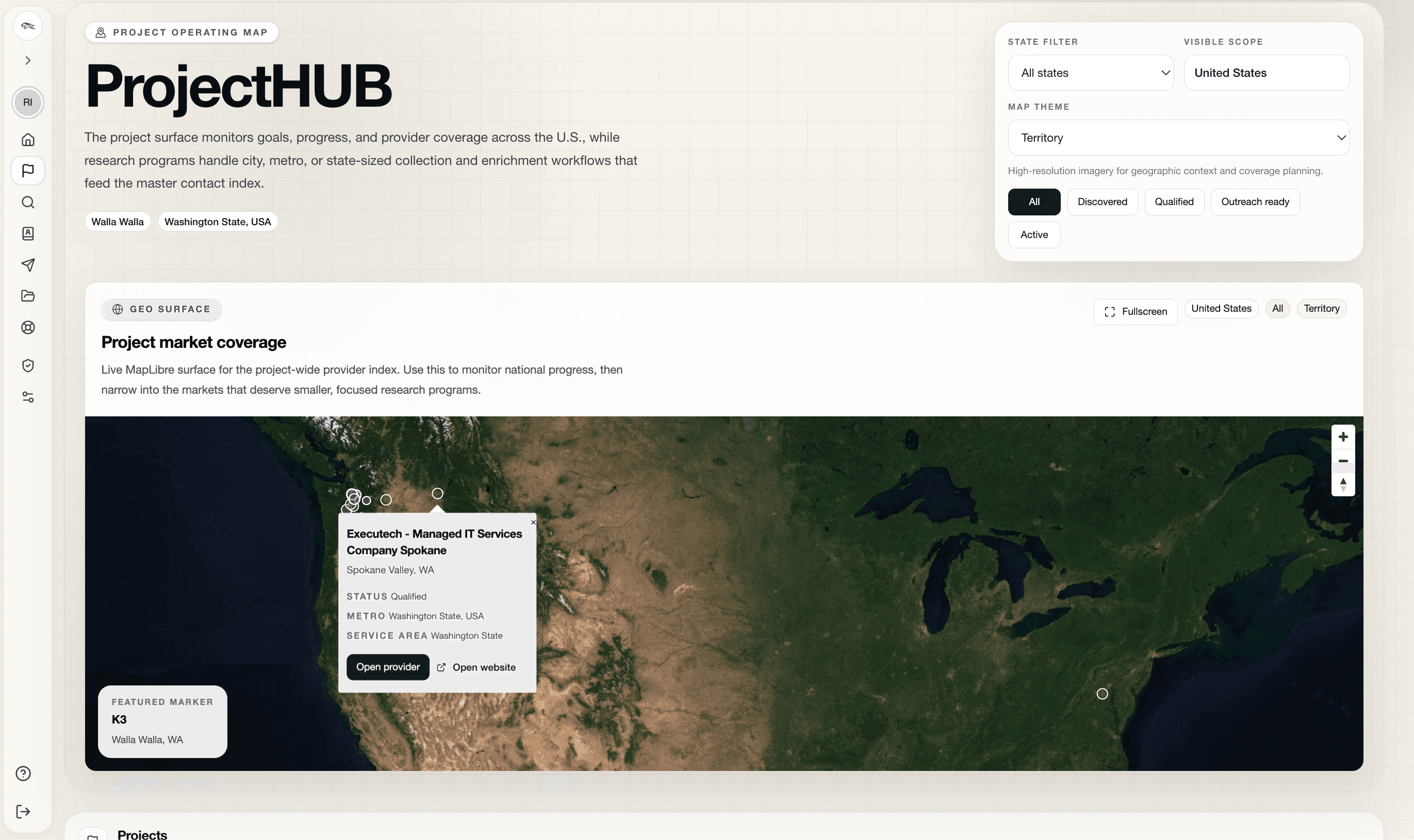
Explore current products, research tools, and working prototypes. Each tile is clickable; standalone product apps open in a new tab, while CloudRaven pages stay here.

Latest from the Lab

Build notes, research, and program updates.

Follow community research, thoughtful product experiments, and the practical decisions that turn a working prototype into a useful service.

Browse the lab notes

Work with CloudRaven Labs

Bring one community question. Leave with a practical pilot path.

Plan an AI Readiness workshop